


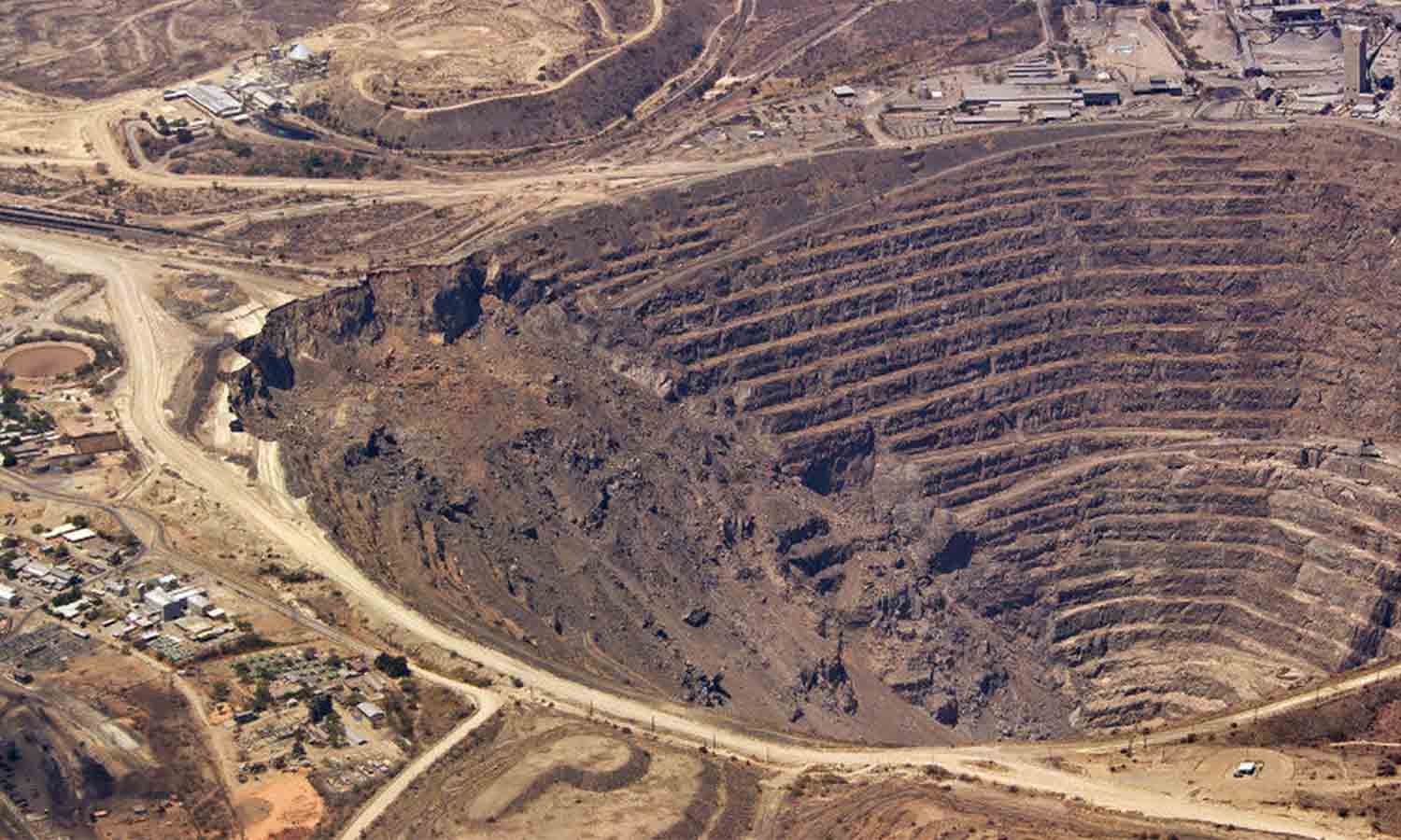
Small drones are revolutionizing markets around the world, including the mining industry. For mining personnel, mapping large areas and planning roads and paths horizontally and vertically is repetitive and difficult work, but quadcopter drones are making a difference.
The industry value of the mining industry is huge, the operation is difficult, the accuracy is required, and the signal coverage is low, which requires that construction equipment and personnel must be introduced and continuously supplied.
And here, we explain how the flagship EVO II series from Autel Robotics and the larger tilt-rotor VTOL Dragonfish are changing productivity in the mining service industry.
Advantages of Drones for the Mining Industry
Fly High
Many mines, especially in South America, are above 4,000 meters. Thin air at high altitudes can greatly affect a drone's flight time. The Autel EVO II series is purpose-built for high-altitude missions with a maximum take-off altitude of 5,000 meters and a flight ceiling of 7,000 meters for maximum performance with minimal loss of endurance.
The Dragonfish is more capable, combining the flexibility of a VTOL with the stamina of a fixed wing. Fixed-wing flying is much more efficient than multi-rotor flying, allowing drones to increase their time on site in any environment, and the maximum flight time of Autel Dragonfish Pro can reach 18 minutes.
Autonomous Planning
The mining environment is usually located in a deep mountain area, and mining operations will cause great harm to the surrounding environment. Response to environmental recovery. The drone can easily track the planning and progress of the mining process, and the EVO Explorer App enables autonomous mission planning and execution for the EVO II Series.
Precision and Accuracy
Accuracy is critical when mapping an area. The EVO II Pro V3 RTK provides centimeter-accurate positioning data with a minimum of ground control points. It is paired with the NTRIP satellite system to correct positioning errors and create the most accurate map of the area, with RTK accuracy down to the centimeter level.
Dragonfish can cover larger areas, creating maps that aren't as accurate as the EVO II V3 RTK, but are still high-quality orthomosaics that help developers plan routes, observe natural obstacles, and monitor large-scale construction projects.
Almighty Assets
The ease of use, automation, and camera quality of our drones allow us to perform a variety of missions in the air.
Companies can monitor the progress of construction, demolition or mining projects. They can track valuable equipment or monitor security conditions. They can help monitor production, inventory and security conditions for government or corporate oversight.
The Terrain and Ortho software system currently under development will further assist mining companies by allowing drones to map sites and help plan the efficient flow of materials, vehicles and tools.
For any job that requires precise data in demanding environments, Autel Robotics can do it.


