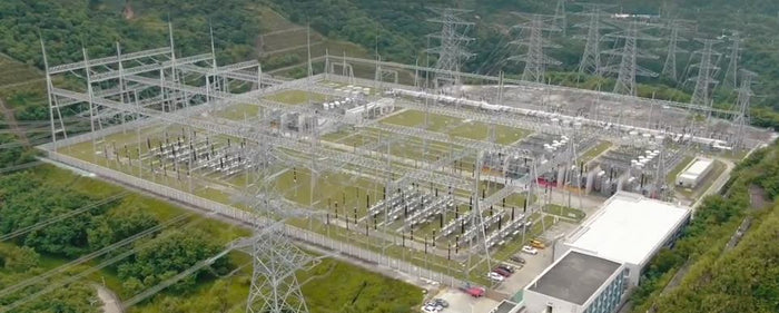
What Is The Oblique Photography Mission by RTK Drone?

In surveying and mapping tasks, service provider drones continue to introduce drones to perform tasks. Using drones to perform surveying and mapping tasks reduces the traditional large-scale deployment of labor costs, and more efficiently obtains accurate information. Among them, RTK drone is the best drone for surveying and mapping tasks.


