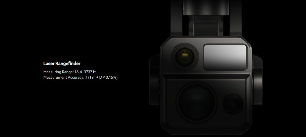
A drone laser rangefinder is a device that measures the distance to a target through a laser beam. It can be installed on a drone and used to measure the distance between the drone and the ground, buildings, obstacles or other targets.
Autel Robotics is currently equipped with laser rangefinders on Autel EVO MAX 4T, Autel EVO MAX 4N, Autel Alpha, and Autel Titan drones. They are integrated on the drone camera lens, and the data results are displayed on the Autel Enterprise App.
The laser rangefinder provides precise distance measurement function. After enabling the laser distance measurement function in the Autel Enterprise App, a crosshair will appear on the home screen. By aligning the crosshairs with the target, you can learn the current relative position, height and coordinate information of the target being measured from the on-screen readout.
Autel Alpha/Titan uses Autel L35T gimbal camera and drone laser rangefinder with the same configuration, with the following features:
- One-click positioning to quickly obtain the target location, with a maximum ranging distance of up to 2 kilometers.
- It can measure the position, latitude and longitude of the target object and the distance to the drone.

The Autel EVO MAX 4T drone uses a 4T camera, and the Autel EVO MAX 4N drone uses a 4N camera. The difference between the 4T camera and the 4N camera is the camera lens and laser rangefinder configuration, which have the following features:
- One-click positioning, measurement accuracy is ±1m, and the maximum ranging distance can reach 1.5 kilometers.
- It can measure the position, latitude and longitude of the target object and the distance to the drone.

RNG
Range - The distance between the drone and the target.
MSL
Mean Sea Level - Refers to the altitude above sea level.
E: East Longitude | W: West Longitude
N: North Latitude | S: South Latitude


