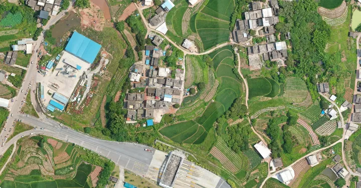
Aerial mapping drones often have high-performance sensors such as RGB sensors, thermal cameras, multispectral cameras, and LiDAR payloads to collect aerial data. Drone mapping works by taking photos from different angles and labeling each image with coordinates.
Camera drones with high-definition cameras can be used for land surveying and topographic mapping. During this period, the drone camera is responsible for recording image data and providing original data collection for drone mapping.

Phase 1: Data Acquisition
Aerial photography for data collection has specific goals and themes. Although certain elements may be required for the process, the target could be anywhere on the Earth's surface or beyond. For example, photogrammetry of 3D surfaces is critical.
Software such as Drone Deploy cloud software is one of the top drone photogrammetry software in the world. Autel EVO II series drones use the Autel Explorer App for remote control, and can start intelligent flight missions in the app to select locations for surveying and mapping.
At the same time, survey-grade results from aerial imagery often require equipment-specific accuracy standards. Drones with RTK will further enhance the accuracy and readability of collected data and improve the efficiency of the data collection phase.
Phase 2: Data Processing
The next step in drone mapping is data processing. Data entered manually is only a guide for hardware and software. Automation of data processing produces something completely different from raw data.
The photogrammetry method converts 2D photos into 3D models at the push of a button. Other simulations and measurements can also be performed based on the acquired 2D images.
Phase 3: Data Analysis
The last step in drone mapping is data analysis, which is the most critical step. People use drone data analysis in combination with various tools to achieve this goal. Without drones, data analysis can only use satellite data alone. Drone mapping software offers excellent resolution and accuracy for free.


