Nov 06, 2023
IMU, also known as Inertial Measurement Unit, is a common sensor combination system in drone technology. The IMU integrates multiple sensors, including accelerometer, gyroscope and magnetometer, to measure and track motion parameters such as attitude, acceleration and angular velocity of the drone.
Oct 10, 2023
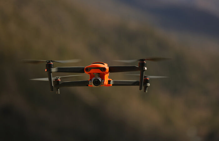
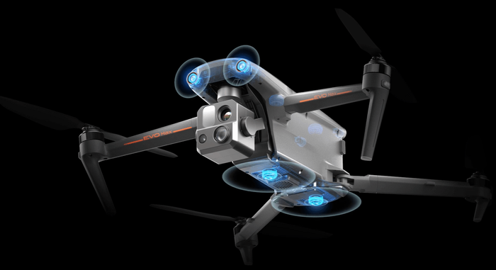
Millimeter wave (mmWave) is a special radar technology that uses short-wavelength electromagnetic waves.The current Autel drone EVO MAX 4T/4N uses binocular visual obstacle avoidance + millimeter wave radar obstacle avoidance technology.
Sep 28, 2023
The drone threat near airports, the economic impact of drones on airports and airlines, drone policies and safety procedures all illustrate to us that the drone threat is serious and that we should actively look for solutions to mitigate the Risks associated with drones.
Jun 26, 2023
Anti-jamming frequency hopping drone technology is a drone digital image transmission technology with anti-jamming capability, which uses frequency hopping communication technology to deal with the influence of jamming signals.
Jun 13, 2023
At present, the most common night vision cameras on the market are: infrared night vision cameras, infrared thermal imaging cameras, starlight night vision cameras, and full-color night vision cameras.
May 24, 2023
The image transmission control of drones and remote controllers relies on electromagnetic waves, the most common being 2.4GH and 5.8GHz. The drone signal is easily affected by the environment. When the drone loses the signal, the 4G dongle will take over and continue the signal flight.
May 22, 2023
Drone lidar and photogrammetric imaging applications are growing rapidly. LiDAR drones provide new power to the surveying and mapping industry. The use of quadcopters and multirotors in lidar mapping is still in its early stages, and here we illustrate how lidar technology is changing the mapping industry.
May 22, 2023
Drone aerial surveying and mapping has the characteristics of high precision, high operation efficiency and strong data analysis ability, which largely solves the pain points of manual surveying and mapping.We will explain the three positioning technologies of RTK VS PPK VS GCP in this blog.
May 19, 2023
Autel Dragonfish can be used for multispectral imaging. The Dragonfish drone is equipped with a multispectral sensor load DG-M1, which will be used in precision agriculture, providing plant health insights that cannot be captured by ordinary cameras, and improving intelligent agricultural production management.