


RTK (Real-Time Kinematic) drones are drones that use high-precision positioning technology to improve positioning accuracy by receiving differential GPS signals. The NTRIP (Networked Transport of RTCM via Internet Protocol) network plays an important role in RTK drones. Let's take a closer look at the NTRIP network and its role in RTK drones.
NTRIP (Networked Transport of RTCM via Internet Protocol) is a protocol for transmitting real-time differential navigation data over the Internet. It allows RTK devices to receive real-time correction data over the network to improve positioning accuracy.
All RTK data formats (NCT, RTCM, CMR, CMR+, etc.) can be transmitted. RTCM is the standardized format of the NTRIP network. It is used to transmit GPS differential correction data.
How the NTRIP network works?

RTK Correction
- Base station: The core of the NTRIP network is one or more high-precision ground base stations. These base stations are installed in known fixed locations and receive signals from GPS satellites.
- Differential correction: The base station calculates the error (i.e., differential correction data) by comparing the known position with the received satellite signals.
- NTRIP Caster: The base station transmits the differential correction data to NTRIP Caster (a data server) and broadcasts it over the Internet.
- RTK UAV Receiver: RTK UAVs connect to NTRIP Caster via a mobile network and receive differential correction data in real time.
- High-precision positioning: The drone combines this correction data with the GPS signal it receives to calculate a high-precision position, typically with centimeter-level accuracy.
How to use the network RTK service?
Autel RTK drones do not need a base station, and can also obtain accurate geographic information using the network RTK service. When starting to customize the network RTK service, the remote controller needs to be connected to the Internet.
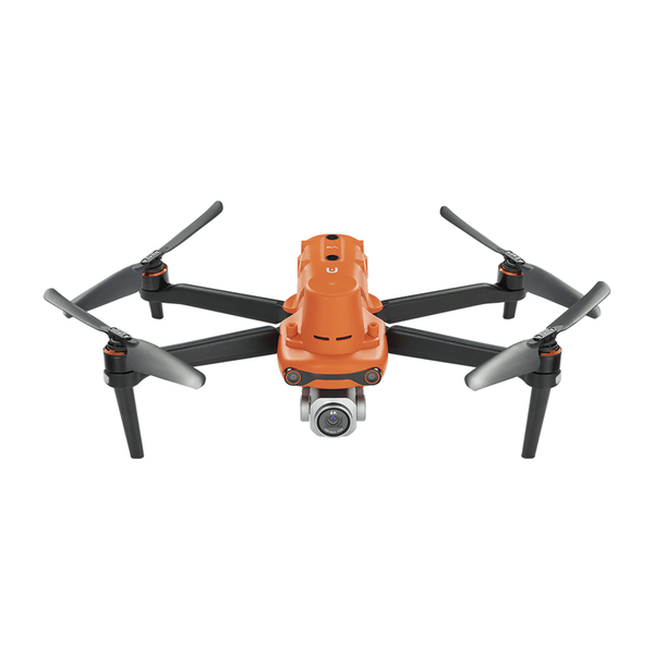
Autel Robotics EVO II Pro RTK V3 [Including RTK Module]
$2999.00 USD
The network RTK service uses the remote controller instead of the base station to connect to the specified network RTK server to send and receive differential data. Please always keep the remote controller turned on and connected to the Internet during use.
- Make sure the remote controller is connected to the aircraft and can access the Internet.
- Enter the App Camera interface >·· >RTK, select the RTK service type as "Network RTK", then click "Purchase Network RTK Package" > "Purchase Package", and follow the prompts to purchase and activate. Note: Please select a suitable local RTK account service company.
- Wait for a connection to the network RTK server. In the RTK settings page, the positioning status of the aircraft RTK is FIX, indicating that the aircraft has obtained and used the differential data of the network RTK.
The role of the NTRIP network in RTK UAVs
Improve positioning accuracy: Through the NTRIP network, RTK UAVs are able to receive high-precision differential correction data from the base station, thereby significantly improving their positioning accuracy. Compared with traditional GPS positioning (the error is usually between a few meters and tens of meters), RTK technology can reduce the error to the centimeter level.
Real-time: The NTRIP network can transmit differential correction data in real time, which means that RTK UAVs can continuously adjust their positioning accuracy during flight to ensure the accuracy of flight paths and data collection.
Wide coverage: Since NTRIP uses the Internet to transmit correction data, RTK drones can use NTRIP services in a wide area as long as there is network coverage, without having to rely on traditional radio transmission methods.
Application scenarios of network RTK
Precision agriculture: In agriculture, RTK drones can achieve precise sowing, fertilization and pesticide spraying operations through the NTRIP network.
Engineering surveying: RTK drones provide high-precision measurement data through the NTRIP network in fields such as topographic mapping and construction site surveying.
Power inspection: Power companies use RTK drones to conduct high-precision power line inspections through the NTRIP network to ensure the safe operation of equipment.
Disaster emergency: After a disaster occurs, RTK drones can quickly and accurately conduct post-disaster assessments through the NTRIP network to help formulate emergency response strategies.
Summary
The NTRIP network plays a key role in RTK drones. By providing real-time differential correction data, it significantly improves the positioning accuracy of drones and ensures excellent performance in various high-precision applications. The transmission of correction data via the Internet enables RTK drones to be used in a wider area, greatly expanding their scope of application.


