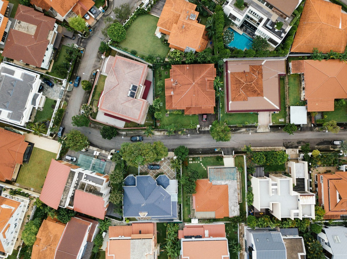
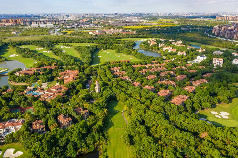
Drone photography is one of the more effective ways real estate agents can differentiate their listings. This article will explore the advantages and applications of drones in the real estate industry, as well as their positive impact on the development of the industry.
Why Use Drones in Real Estate Photography?
Drone aerial imagery allows buyers to easily understand the layout of the land and provides a 360-degree view of the property.
Drone aerial photography offers significant advantages in making a real estate agent’s listing more attractive by presenting eye-catching, enticing images that will make buyers take notice and want to know more.
For these and many other reasons, drone photography has become one of the most valuable real estate sales marketing tools.

Publicity and marketing: Drones play an extremely important role in real estate publicity and marketing. Aerial videos and photos taken by drones can fully display the appearance, scale, surrounding environment, etc. of real estate projects, provide potential buyers with an intuitive and shocking visual experience, and improve the attractiveness and popularity of the project.
Topographic survey and measurement: In the early stage of real estate development, drones can perform high-precision topographic survey and measurement. Equipped with sophisticated surveying and mapping equipment, drones can quickly and accurately obtain landform information, elevation data and other important indicators. This not only saves time and costs, but also increases the accuracy of the survey.
Building construction monitoring: Drones can be used for building construction monitoring of real estate projects. Through regular aerial photography, it is possible to comprehensively record and monitor the construction progress, quality, etc., and find problems in time and make adjustments. At the same time, the drone can shoot from different angles and heights, providing a multi-angle perspective, which helps the construction party to make better decisions.
Security and Surveillance: Drones can be used for security and surveillance of real estate projects. Equipped with high-definition camera equipment, the drone can monitor the security situation around the project in real time, detect abnormal situations in time and take corresponding measures. In addition, drones can also be used to inspect building exterior walls, roofs and other hard-to-reach areas to improve safety management.
Environmental assessment and planning: Drones can be used for environmental assessment and planning of real estate projects. Through aerial photography technology, information such as the ecological environment, traffic conditions, and land use status of the target area can be obtained. These data are of great significance for project planning, environmental impact assessment and rational use of land resources.
Customer experience and service: Drones provide real estate developers with a new way of customer experience and service. By equipped with VR (virtual reality) equipment, customers can be provided with a virtual tour, allowing customers to experience the appearance and environment of future houses in person. At the same time, drones can also be used to quickly deliver documents and items, improving customer satisfaction and service efficiency.
Related More: Drone Real Estate Photography: Is The Autel EVO Lite+ Better Than The DJI Mavic 2 Pro?
Learn about Residential Real Estate Photography and Commercial Real Estate Photography

Residential real estate photography focuses on photographing residential properties, including single-family homes, apartments, townhouses, etc., with the goal of showing the house at its best and attracting potential buyers or tenants.
Commercial real estate photography focuses on photographing commercial properties, including offices, retail stores, hotels, warehouses, etc., with the goal of showing the functionality and appeal of commercial spaces and attracting potential tenants or buyers.
Residential real estate photography also has drone aerial photography, showing your property through beautiful cinematic aerial videos to attract the audience's attention and bring your listing to life.
Commercial real estate photography can use eye-catching aerial videos and photos to show your property to investors or customers. This includes showing the property location, main entrances and exits, popular storefronts and parking lots, as well as surrounding routes, service locations, and more.
What kind of Drone is used for Real Estate Photography?

If you want to get high-quality Real Estate drone photography images and videos, you need to consider high-quality imaging, budget-friendliness, whether there is a first-person perspective, flight time, etc., the key specifications of the drone are necessary.
Drone Camera Quality: A 3-axis gimbal-stabilized drone coupled with high-quality CMOS imaging will create the best images.
Drone with obstacle avoidance sensor: improve the safety of UAV drone flight.
Long Flight Time: Long-term flight helps the drone to take more wonderful drone perspectives.
Drone Control Range: The operating range of the drone affects whether the drone is stable in flight, clear in image transmission, and anti-interference performance.
Related More: Best Real Estate Photography Drones 2023
PLEASE NOTE: Drones used for real estate photography needs are for commercial purposes and therefore must have an FAA Remote Pilot Certificate. You may often see this certificate referred to as a Part 107 certificate or drone pilot license.
Conclusion
The application of drones in the real estate industry has brought disruptive changes to the industry. From marketing and publicity to development and construction to customer service, the role of drones is everywhere. It increases efficiency in the industry, reduces costs, and provides a better experience for customers. With the further development and innovation of technology, it is believed that the role of drones in the real estate field will continue to expand.


