Jan 19, 2024
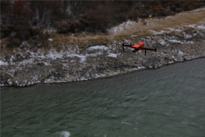
When driving drones, it is necessary to observe the changes in the surrounding environment, and keep drones within your sight. What should you do if your drone is unfortunately falling into the water?
Jan 17, 2024
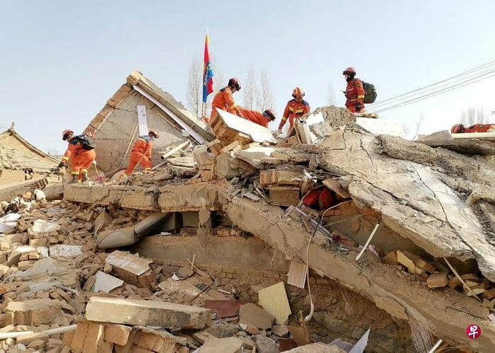
In the ever-evolving field of drone technology, drone search and rescue has become a major new use. Search and rescue drones can provide emergency responders with a fusion of thermal imaging and high-resolution photography, optimizing the effectiveness of drones in critical life-saving scenarios.
Jan 15, 2024
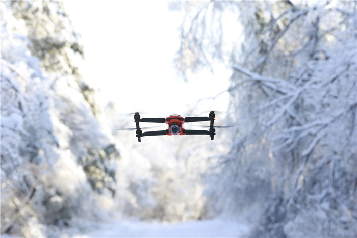
Flying a drone in winter is a new experience. You may find that the drone control becomes less sensitive and the drone consumes more power! That’s because low temperatures affect the flight performance of drones to a certain extent.
Jan 11, 2024
Autel EVO II series and EVO MAX series drones can set a drone mission plan, and the drone will automatically fly along the set path. When my drone runs out of power and the drone mission is interrupted, can I still resume the mission?
Jan 02, 2024
Recreational drones are very common, and drone novices are very interested in drone driving and drone photography. Here, we will introduce the most suitable recreational drones for drone novices in 2024 to those who are interested in drones, allowing you to discover the most satisfying first drone guide.
Dec 26, 2023
Autel Robotics has launched Autel Mapper map processing software, which can quickly and massively process drone images taken by Autel drones, perform high-precision 2D and 3D reconstruction, support cloud processing or local processing, and use deep learning to obtain high accuracy the result of.
Dec 20, 2023
As a real-time live streaming device for drone videos, Autel Live Deck transmits real-time high-definition video to various devices, allowing cross-department teams to enhance situational awareness and communication to make faster and better decisions.
Dec 04, 2023
Drone photogrammetry is changing the traditional surveying industry. Image photogrammetry modeling has become a new option. Geospatial drones are no longer gadgets but professional equipment. So, is a photogrammetry drone suitable for your survey? business? Can drone photogrammetry replace traditional ground surveying techniques?
Nov 18, 2023
With the continuous development and advancement of drone technology, drones have become one of the high-tech means in many industries. The emergence of tethered drones provides new methods for the continuous work of drones in various industries and enhances the working life of drones.